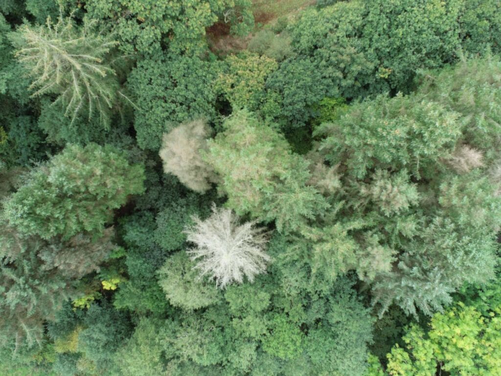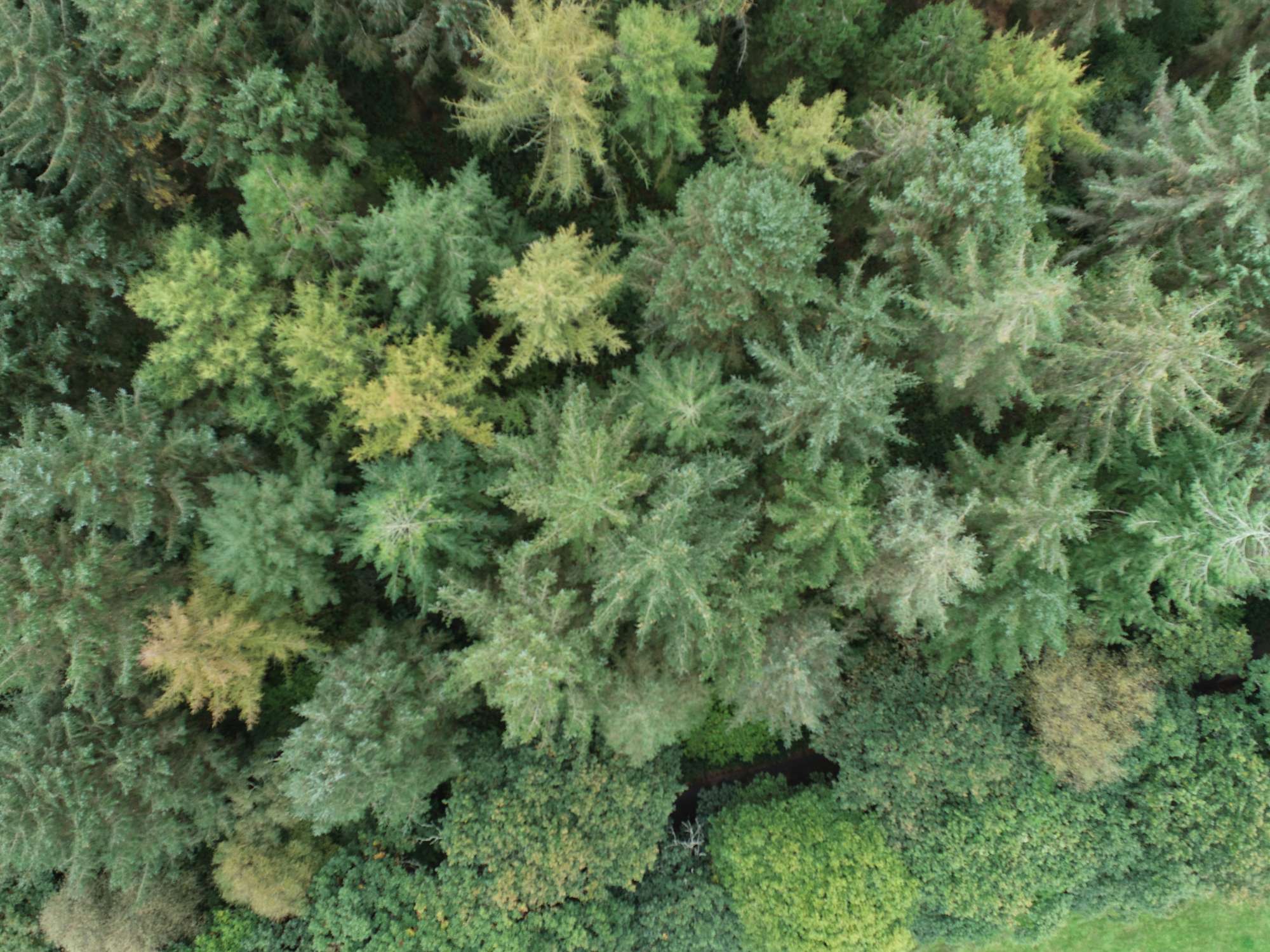
We use drone imagery and GPS to produce high quality digital mapping to give you the greatest possible insights into your woodland, and the tools to understand it.
Accurate mapping is the foundation for:
- Woodland management planning
- Grant applications (many require detailed site maps)
- Forest design plans
- Tree health monitoring
- Species composition analysis
- Boundary definition and area calculation
- Tracking change over time
You can’t manage effectively what you can’t measure and visualise properly.